The Kansas–Nebraska Act: Interactive Map
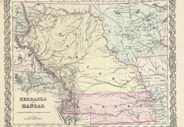
Map of Kansas and Nebraska in Colton's Atlas of the World Illustrating Physical and Political Geography (1855).
_-_Geographicus_-_NebraskaKansas-colton-1855.jpg)
The Kansas-Nebraska Act allowed the settlers of a federal territory to decide whether or not slavery would be legal in that territory without interference from Congress. Based on what you have learned about the series of laws and compromises made to determine the future of slavery in the western United States, address the following compelling question: How did the Kansas-Nebraska Act of 1854 affect sectionalism in the antebellum United States?
This interactive political and demographic map of the U.S. in 1854 allows users to see the economic, demographic, and political makeup of regions and states at the time. It is used in Lesson 3: The Kansas–Nebraska Act of 1854: Popular Sovereignty and the Political Polarization over Slavery.